

Hello, everyone.
This is Enta.
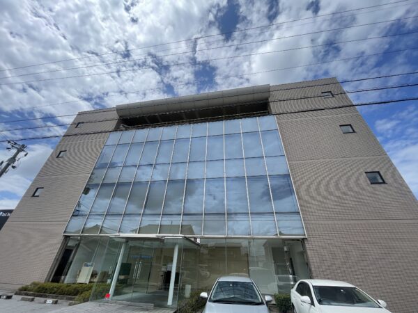
The other day, when I visited Godai Development, they introduced me to a piece of software that I thought, “I can use this right away!”
I actually got to see it, and it was something I could put to use right away on the job!
It's a software program called PoiCL.
This software lets you take two or more photos and converts them into point cloud data!
The advantage of this software is that it offers a certain level of accuracy even without using an expensive scanner, so
You can perform rough surveys and measurements on-screen (at your desk).
Since anyone can create and use point cloud data anytime using just photos,The Best in a Disaster!
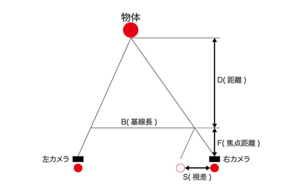
You're probably wondering, "How is this even possible?" but it's actually a surprisingly simple mechanism lol.
It's a stereo camera, isn't it?
I think humans use both eyes to perceive depth and three-dimensionality.
By layering several photos on top of each other, we create a three-dimensional effect.
The trick to layering is the same as when creating aerial photos.
Apparently, it's fine to include the scale in just one place.
Alternatively, I think the accuracy would improve significantly if we had precise coordinate points.
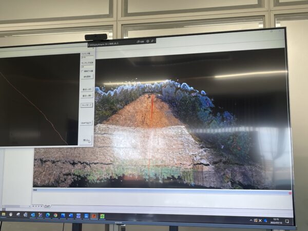
If you want to be precise, I feel like using a drone to snap away would improve the accuracy to some extent.
If the accuracy isn't great, it's probably the very top of a long slope when viewed from below, lol.
If you take as many photos as possible in a single shot—from various angles, including up, down, left, and right—the accuracy should improve.
However, since the data volume will increase as well, there’s a very good chance I’ll end up relying on my computer lol.
If you have a low-spec PC, will the choppy performance drive you crazy!?
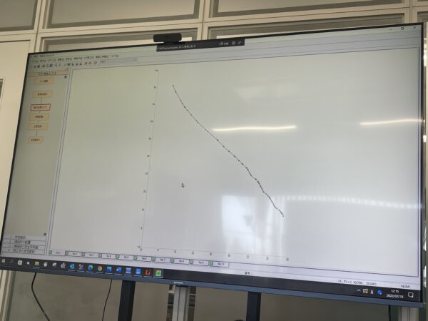
And using this point cloud, you can generate a cross-section in a single step!!
This is the best!!
If you use this, creating cross-sectional diagrams for construction surveys will be a breeze, right!?
Drawing cross-sectional diagrams at disaster sites is seriously a pain, and it's dangerous.
Isn't it awesome to snap away with your camera and then draw a cross-section of it?
Even after completion, if you take photos from the same position as before construction, you should be able to create a point cloud with virtually the same level of accuracy.
It's easy to compare, isn't it?
This is a software I highly recommend!
And one more thing!
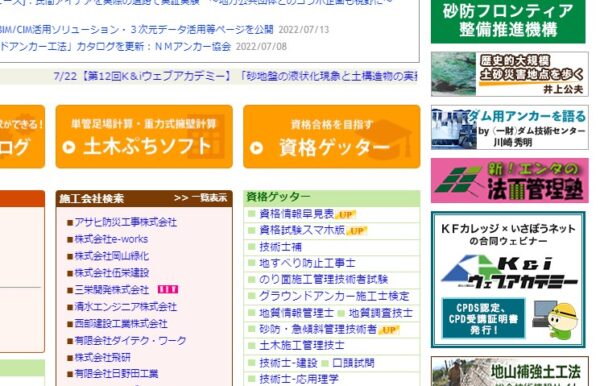
A banner has been added to Isabou Net!
Civil Engineering Information Service Isabou Net
Thank you.
I'm so happy!
It is an honor to be featured on an information site dedicated to historic retaining walls.
By the way, all of our design software—from rebar placement and stability calculations to anchor and formwork calculations—is from Go-Da Kaihatsu! lol
I guess things will start to come together in various ways somewhere, huh?
I really appreciate it.
See you later.