

Hello, everyone.
This is Enta.
Do you measure soil hardness?
Well, it's limited to landscaping, though.
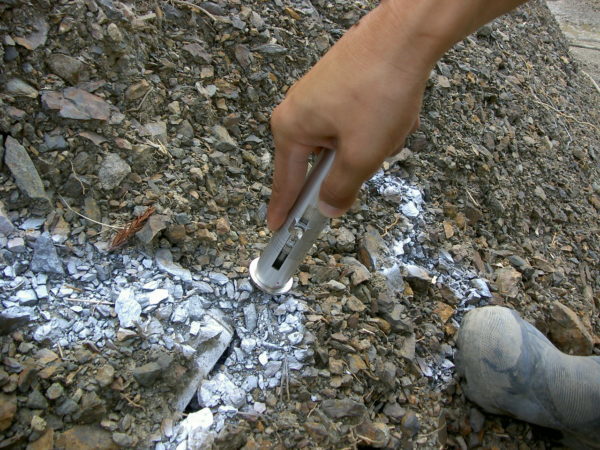
When measuring soil hardness, where do you take the measurements?
What do you like about it?
Survey point?
Actually, survey points are easier to manage, aren't they?
All you need to do is draw a triangle (△) at the survey point on the site plan to indicate the measurement location.
However, in reality, it’s safer in the long run to choose the hardest spot possible.
That’s because soil hardness is absolutely crucial when it comes to spray thickness.
Of course, since it's a mountain, there are some soft spots and some hard spots.
For example, if there are three survey points, I think we would measure only those three.
However, if there are any areas on site that are harder, we will measure those as well.
Don't worry too much about the survey points—just take as many measurements as you can.
Ideally, the more data, the better. Six locations are better than three.
(Taking photos and compiling the data is a huge hassle, but the government really appreciates this mundane work.)
The data required includes the measurement locations (height from the base of the slope and distance from the survey point). Please include these on the map of managed locations.
If about 40% of the total is on the harder side, you’ll need to select a spray thickness that accommodates the harder areas; otherwise, about half of it won’t take hold.
The key to landscaping is to adapt to unfavorable soil conditions.
If you don't do that, the chances that it won't grow will only increase.
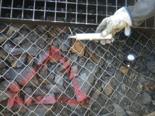
In other words, there's no need to measure the soft areas.
That’s because, no matter what you do, they’ll grow back anyway. (Damage caused by wildlife is a different matter entirely.)
It is important to take measurements under challenging conditions.
Well, I want to increase the thickness (conditions on-site are tougher than in the design), and I also want to keep it that way, lol (money matters, too).
See you later.