

Hello, everyone.
This is Enta.
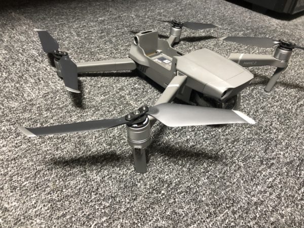
I went ahead and bought a drone!
I've wanted one for quite a while now, but since the latest models are compact and can fly for quite a long time, I figured it might be about time? lol
So, what are you going to use it for!?
That, of course, is photographing the slope.
My main goal is to be able to take photos of slopes from the front so that I can automatically generate development drawings and slope layout diagrams.
Take photographs of the entire slope, verify that the data matches the developed plan (which was measured using a tape), and
Wouldn't it be so much easier if you could just quickly and easily draw the layout diagram for the assigned legal framework?
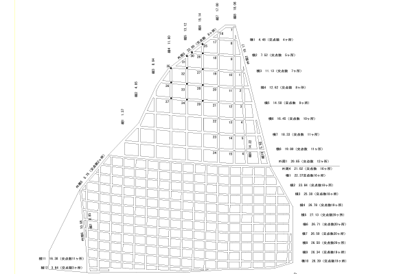
Since the layout diagram and the development diagram don't match to begin with, some parts end up being narrower or wider in the drawings.
As long as the length of the frame is accurate, the layout drawing is generally fine.
In the case of a slope with steep undulations, the protruding and recessed areas appear to have a smaller pitch when viewed from the front.
I was thinking I’d like to incorporate the front view of the legal framework—including those aspects—and really bring it to life in the illustration.
Even if there are a few corrections, it's still better than writing it from scratch, lol.
So, for now, I think I'll give this first experiment a try.
Since I have the unfolded diagram, I'll overlay the drone photo onto it.
Have the system recognize the lines so that it can trace the outline of the formwork (the mortar is white), and then draw the lines.
Authentication tech has gotten so advanced these days that I feel like I could pull it off lol
I hope this makes things just a little bit easier for everyone on site! (Actually, it’s really for me, lol.)
See you later.