

Hello, everyone.
This is Enta.

I hear that recently, a certain designer has been asked to include the coordinates of anchor bolt locations and the like on the drawings.
Does this even make sense?
Since I was asked to, I thought I'd give it a try.
Is it better to have coordinate values on the slope?
The coordinates areIt's easier in many ways if you have oneThat's it.
It makes it easier to determine the initial positioning or establish reference points on-site.
Basically, the main survey line (study cross-section) serves as the reference, but it’s also easy to extend that horizontally.
Therefore, the coordinate values we generally want are those of the main measuring line.
And then, there are the coordinate values for horizontal movement.
With this, you can at least string up a straight-edged line right away on site.
Then, based on that, either determine the anchor positions horizontally or specify their positions using coordinates.
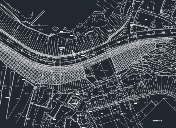
However, this is only true when the slope is in good condition.
If the slope is uneven
Even if it's rough, it's more convenient to have the coordinates for the top and bottom of the cross-section under consideration.
No matter how smooth or bumpy the slope is, we'll pull the rope.
That's for sure.
This is the main reference line, which represents the design cross-section.
Both ground anchor work and rebar insertion work are calculated based on the number of bars to be installed within the design cross-section (main measurement line).
That's why this is important.
Also, in the case of "boko-boko," no other coordinate values are needed.
If the slope is bumpy,
If the surface is uneven, the coordinate values will change.
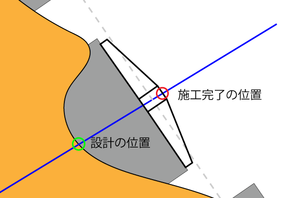
It starts out as a green circle, right?
When it's finished, it will be a red circle.
The positions are completely different, aren't they?
Well, actually, even when the slope is smooth, the coordinate values change slightly, so in the end it doesn't really matter, lol.
In conclusion, it’s easier to install if you have one from the start.
That way, you won't have to go through the trouble of opening the drawings and picking out the coordinates.
Especially when the mountains are beautiful.
Ultimately, though, those coordinate values will disappear.
Of course, there's still the question of whether those coordinates are accurate, though... lol
See you later.